Updated on November 19, 2024
Pedal Paradise: Scenic Bike Trails in Portland
Buckle up, cycling friends (or should I say, clip in?) — we’re about to embark on a two-wheeled tour of Portland, Oregon, the city where bikes aren’t just a mode of transportation, they’re a way of life. Consistently ranked as one of the best cities for cycling in the U.S., Portland boasts an impressive 385 miles of bike trails. That’s enough to make Lance Armstrong’s thighs quiver!
You may have been born wearing spandex. Or maybe you’ve got training wheels on your fixie (no judgment here). Whatever the case, Portland has a route for you. Grab your helmet, and let’s dive into the crème de la crème of PDX cycling!
Urban Delights
City Rides for the Street Savvy
***
Willamette River Loop
 A Bridge Lover’s Dream
Distance: 10.6 miles
Difficulty: Easy to Moderate
Highlights: Skyline views, bridge crossings, riverside scenery
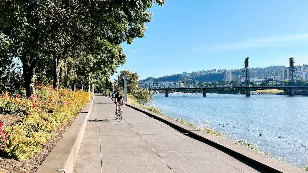
Imagine this: you’re cruising along the Willamette River, the wind in your hair (or helmet), and Portland’s skyline reflecting off the water like a mirage of urban coolness. That’s the Willamette River Loop for you, folks!
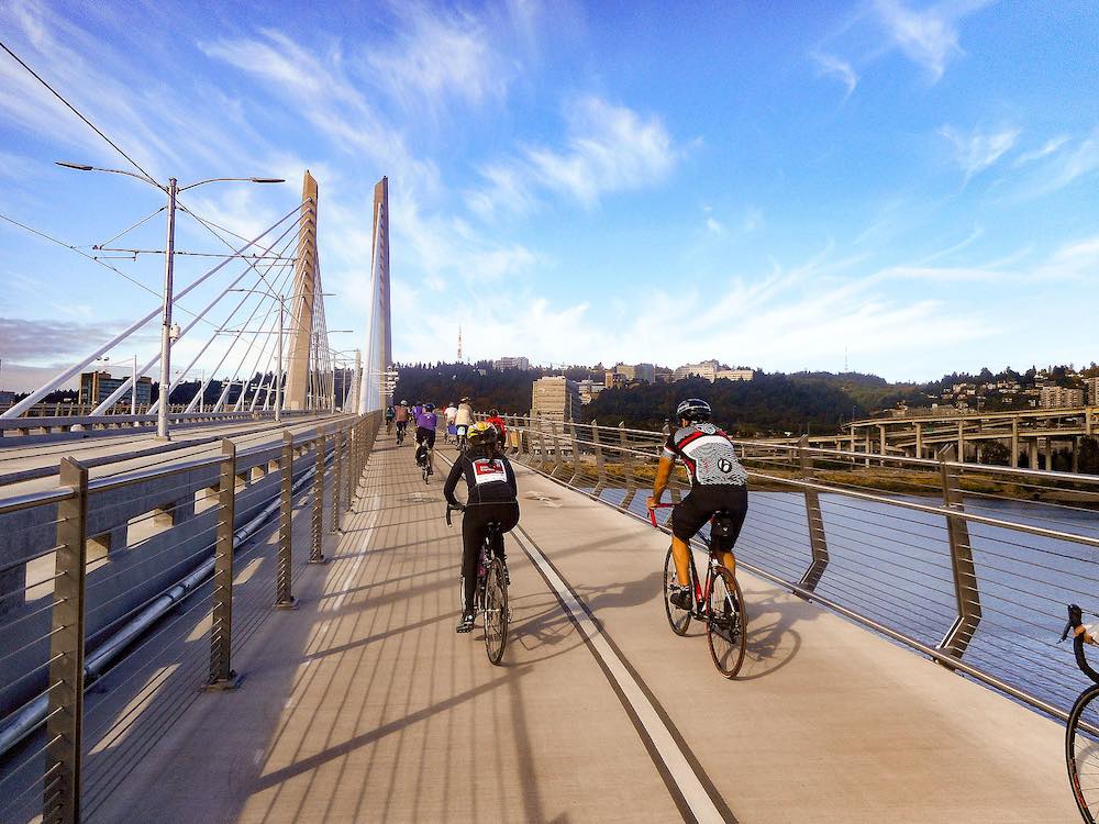
This 10.6-mile urban adventure takes you on a tour of Portland’s iconic bridges. You’ll feel like you’re in a real-life game of “Bridge Constructor” as you pedal across the Steel Bridge, Hawthorne Bridge, and Tilikum Crossing. Just remember, unlike the game, if these bridges collapse, you can’t hit the “undo” button!
As you ride along the Vera Katz Eastbank Esplanade (try saying that five times fast), keep an eye out for the “Echo Gate” sculpture. It’s like a giant, artistic ear trumpet that amplifies the sounds of the city. Shout “Portland rocks!” into it, and you might just hear an echo agreeing with you.
On the west side, Tom McCall Waterfront Park offers a chance to play “dodge the jogger” as you weave through crowds of health-conscious Portlanders. If you’re feeling peckish, take a detour to the food carts at SW 3rd and Washington. Nothing says “I’m a true Portlander” like balancing a gourmet food cart burrito while riding a bike!
Historical Significance and Interesting Facts
The Willamette River Loop is not just a scenic ride; it’s also a journey through Portland’s rich history and a showcase of its commitment to sustainable urban development.
1. A Brief History of the Bridges
• Steel Bridge: Opened in 1912, the Steel Bridge is one of the oldest vertical lift bridges in the world and a vital link between downtown Portland and the eastside. It’s unique in that it carries both road traffic and trains on two levels, a design that is rare even today.
• Hawthorne Bridge: Completed in 1910, the Hawthorne Bridge is the oldest operating vertical lift bridge in the United States. It’s a favorite for cyclists due to its wide bike lanes, and it has been a key part of Portland’s transportation network for over a century.
• Tilikum Crossing: Also known as the “Bridge of the People,” Tilikum Crossing opened in 2015 and is the first bridge in the U.S. designed specifically for public transit, cyclists, and pedestrians, with no lanes for cars. The bridge’s name, “Tilikum,” comes from a Chinook word meaning “people,” reflecting its focus on community and sustainability.
2. Vera Katz Eastbank Esplanade
• Named after former Portland Mayor Vera Katz, this 1.5-mile pathway along the east bank of the Willamette River was completed in 2001. It’s part of the larger plan to revitalize Portland’s waterfront, making it a more accessible and enjoyable space for residents and visitors alike. The Esplanade is known for its floating section, which adjusts to the river’s changing water levels and elevates the rider over the water with a pleasant bouncy sensation.
3. Tom McCall Waterfront Park
• This park, once an unsightly highway, was transformed into a beautiful public space in 1978. Named after Oregon Governor Tom McCall, who was a strong advocate for environmental protection, the park now hosts several of Portland’s most popular events, including the annual Waterfront Blues Festival and the Oregon Brewers Festival.
4. Environmental Impact
• Portland has long been a leader in sustainability, and the Willamette River Loop exemplifies this commitment. The Tilikum Crossing, for instance, is powered by wind and solar energy, reducing its environmental footprint. Additionally, the Vera Katz Eastbank Esplanade was designed to improve river access while protecting the riverbank’s natural habitat.
This additional history and background can not only enrich your experience on the Willamette River Loop but also highlight how Portland’s infrastructure blends the old with the new, creating a lively, sustainable urban environment.
Waterfront Park and Eastbank Esplanade
 The Classic Portland Pose
Distance: 6 miles round trip
Difficulty: Easy
Highlights: River views, people-watching, Portland’s greatest hits
If Portland had a “Best Of” album, this route would be track one. The Waterfront Park and Eastside Esplanade loop is the quintessential Portland ride, offering a greatest hits compilation of the city’s sights and sounds.
Start at the Salmon Street Springs fountain, where on hot days, you might be tempted to ride right through for a refreshing splash. (Pro tip: your bike’s chain will thank you if you resist this urge.) As you pedal north along Waterfront Park, play a game of “Count the Beard Types” — bonus points for spotting a beard longer than your bike lock!
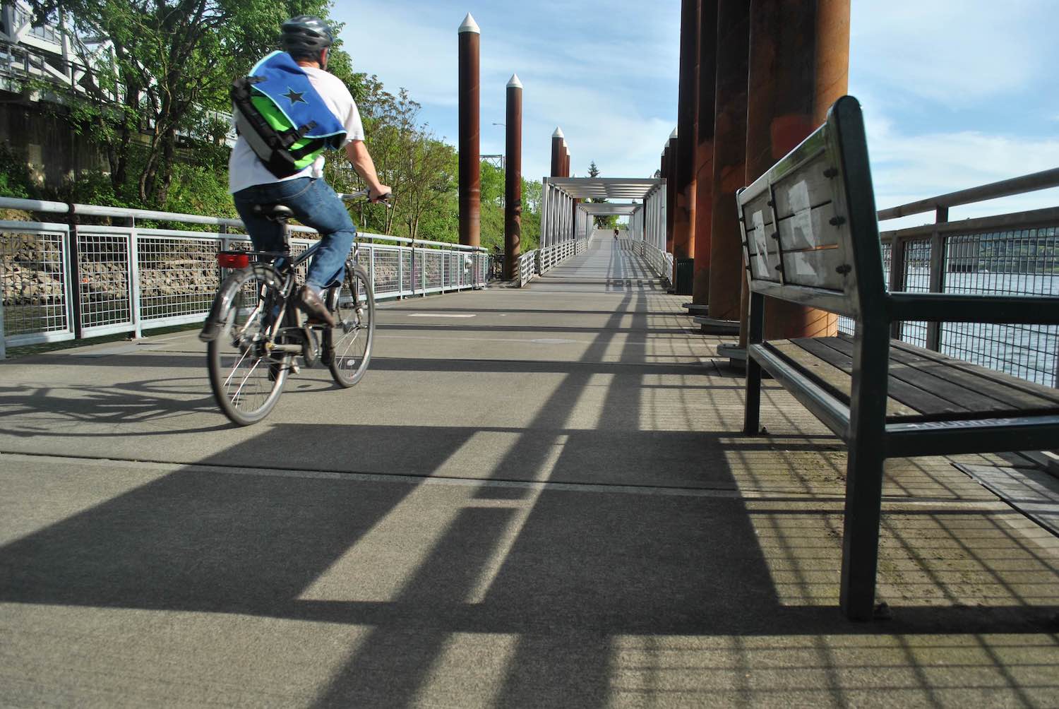
Cross the Steel Bridge to the east side, where the floating portion of the Eastbank Esplanade awaits. It’s like riding on water, minus the need for Jesus-like abilities. On a windy day, you might feel like you’re on a very slow, very stable surfboard.
Keep an eye out for the “Portland, Oregon” sign near the Burnside Bridge. It’s not just a sign; it’s a rite of passage. If you don’t take a selfie here, did you even visit Portland?
Historical Significance and Interesting Facts
1. Transformation of the Waterfront
• The area now known as Tom McCall Waterfront Park was once dominated by Harbor Drive, a major highway running along the west bank of the Willamette River. In the early 1970s, in a visionary move led by then-Governor Tom McCall and local activists, the freeway was removed to make way for a public park. The park was completed in 1978 and has since become a cornerstone of Portland’s commitment to urban green spaces.
2. Salmon Street Springs Fountain
• The Salmon Street Springs Fountain, a key feature of the park, was installed in 1988. This dynamic, interactive fountain was designed to be a focal point for community gatherings. The fountain’s water patterns change depending on the time of day and season, and it’s a popular spot for kids (and the occasional cyclist) to cool off during Portland’s warm summer months.
3. Eastbank Esplanade’s Floating Walkway
• The Eastbank Esplanade, completed in 2001, features a 1,200-foot floating walkway—the longest of its kind in the United States. This section of the Esplanade rises and falls with the river’s changing levels, offering a unique perspective of the city from the water. The Esplanade was part of a larger effort to reclaim the east bank of the Willamette River, transforming what was once an industrial zone into a vibrant public space.
4. The Steel Bridge
• The Steel Bridge, which cyclists cross on this loop, is a marvel of engineering. Built in 1912, it’s one of the world’s only double-decked, vertical-lift bridges that can raise its lower deck independently of the upper deck. This allows for uninterrupted train traffic below while accommodating vehicles, pedestrians, and cyclists above.
5. Public Art and Landmarks
• Along the Waterfront Park and Esplanade route, you’ll encounter several pieces of public art that celebrate Portland’s cultural and natural heritage. The most iconic is perhaps the “Portland, Oregon” sign near the Burnside Bridge, which has become a symbol of the city. The sign has had various iterations since its installation in 1940, originally advertising “White Satin Sugar” before becoming the “White Stag” sign, then the “Made in Oregon” sign, before evolving to its current iteration, proudly proclaiming “Portland, Oregon.”
6. Environmental Impact
• Both Waterfront Park and the Eastbank Esplanade are shining examples of Portland’s green initiatives. The Esplanade was designed with environmental sustainability in mind, featuring native plantings and systems that manage stormwater runoff. The park itself serves as a natural floodplain, helping to mitigate the impacts of seasonal flooding along the river.
Neighborhood Greenways
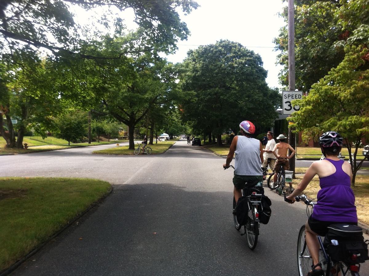 Where the Streets Have Green Dreams
Distance: Varies
Difficulty: Easy
Highlights: Tree-lined streets, traffic-calmed roads, local flavor
Portland’s Neighborhood Greenways are like the city’s capillaries — they might not be the main arteries, but they’re essential for keeping the lifeblood of the city flowing. These low-traffic residential streets are designed with cyclists and pedestrians in mind, often paralleling busier roads but offering a much more zen experience.
Try the Northeast Greenways route (maps here) for a taste of Portland’s quirkier side. As you pedal through the Alameda Ridge, for instance, you might spot a “Little Free Library” or two. These charming book-sharing boxes are like Pokéstops for literature lovers. Gotta read ’em all!
For a real challenge, tackle the climb up to Rocky Butte. Your legs might hate you, but the panoramic views of the city will make your Instagram followers green with envy. Just remember, what goes up must come down — and in this case, “down” means an exhilarating descent that’ll have you grinning like a kid on a sugar rush.
Historical Significance and Interesting Facts
1. Birth of Neighborhood Greenways
• The concept of Neighborhood Greenways in Portland dates back to the early 1990s, when the city recognized the need for safer, more accessible bike routes that prioritized pedestrians and cyclists over motor vehicles. Originally called “Bicycle Boulevards,” these routes were part of Portland’s larger vision to become one of the most bike-friendly cities in the U.S.
2. Design Features
• Neighborhood Greenways are designed with specific features that enhance safety and comfort for cyclists and pedestrians. These include traffic diverters, speed bumps, and enhanced crosswalks that slow down cars and reduce through traffic. The streets often feature large, painted bike symbols known as “sharrows” to remind drivers that these are bike-priority roads.
3.Greenways and Portland’s Environmental Commitment
• In addition to making biking safer, Neighborhood Greenways reflect Portland’s commitment to sustainability. The routes are often lined with native plants and trees, helping to improve air quality and reduce the urban heat island effect. The city also emphasizes using stormwater management systems, like bioswales, along these streets to manage runoff and protect local waterways.
4. Community Engagement
• One of the most inspiring aspects of Neighborhood Greenways is the level of community involvement in their development. Residents are often consulted during the planning process, ensuring that the routes meet the needs of the neighborhoods they traverse. This collaboration has resulted in unique features along the routes, such as community gardens, public art installations, and, of course, the beloved Little Free Libraries.
5. Expansion and Future Plans
• Portland’s Greenway network continues to expand, with new routes being added every year. The city aims to have 25% of all trips taken by bike by 2030, and the Greenways are a key part of this vision. The ultimate goal is to create a connected network that allows residents to travel safely and comfortably throughout the city, whether they’re commuting to work, running errands, or simply enjoying a leisurely ride.
Nature’s Calling
Rides for the Great Outdoors Enthusiast
***
Forest Park
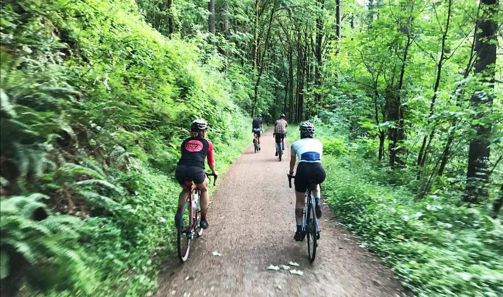 Where the Wild Things Bike
Distance: Varies (Leif Erikson Drive is 11 miles one-way)
Difficulty: Moderate to Challenging
Highlights: Lush forests, wildlife spotting, escape from urban life
Forest Park is like Portland’s version of Narnia — step (or pedal) in, and you’re transported to a magical world of towering trees and babbling brooks. Just don’t expect to meet any talking lions or ice queens (though with Portland’s reputation for weirdness, you never know).
Leif Erikson Drive is the crown jewel of Forest Park’s cycling routes. This 11-mile dirt and gravel road winds through a verdant wonderland of Douglas firs and maple trees. It’s like riding through a green tunnel, with dappled sunlight creating a natural light show on the forest floor.
As you climb (because let’s face it, there’s always climbing in Forest Park), keep your eyes peeled for local wildlife. Spot a deer, and you get 5 points. An owl? 10 points. Bigfoot? Congratulations, you’ve either won the game or had one too many craft beers at the last brewpub stop.
For the truly adventurous (or those with a death wish), there are more challenging single-track trails deeper in the park. Just remember, in the eternal words of E.T., “Ouch.” Bike responsibly, folks!
Historical Significance and Interesting Facts
1. The Origins of Forest Park
• Forest Park is one of the largest urban forests in the United States, covering over 5,200 acres. The park was established in 1948, but the idea for it dates back to the early 1900s. Visionaries like landscape architect John Charles Olmsted (nephew of Frederick Law Olmsted, the designer of New York’s Central Park) saw the potential for a vast urban wilderness to provide a natural escape for Portland’s residents.
2. Leif Erikson Drive
• Originally built as a road for automobile traffic in the early 20th century, Leif Erikson Drive was intended to support a new suburban development that never materialized. The road was opened in 1915 but was abandoned by the 1930s due to frequent landslides and the challenging terrain. It was later converted into a multi-use trail for pedestrians, cyclists, and equestrians, becoming the backbone of Forest Park’s trail system.
3. Other Forest Park Biking Trails
• In effort to protect wildlife and prevent erosion and excessive widening of the park’s wilderness hiking trails, most of them are closed to bikes. Numerous roads and fire lanes are available for single track riding, however. Check them out on this map here.
4. Ecological Importance
• Forest Park is home to an incredible diversity of plant and animal life, with over 112 bird species and 62 mammal species documented within its borders. The park’s dense forests play a critical role in maintaining the ecological health of the region, providing vital habitat and helping to regulate the local climate.
5. Wildlife Sightings
• While biking through Forest Park, it’s not uncommon to encounter a variety of wildlife. In addition to deer and owls, you might spot coyotes, bobcats, and even the occasional black bear. The park’s rich ecosystem is supported by its diverse vegetation, which includes towering Douglas firs, bigleaf maples, and western red cedars.
6. Conservation Efforts
• Over the years, Forest Park has been the focus of numerous conservation efforts. Organizations like the Forest Park Conservancy work tirelessly to protect and restore the park’s natural habitat. These efforts include invasive species removal, trail maintenance, and habitat restoration projects that ensure the park remains a vibrant urban wilderness for generations to come.
7. Cultural Impact
• Forest Park has become an iconic part of Portland’s outdoor culture, attracting nature lovers, hikers, and cyclists from around the region. The park’s trails are a popular destination for both recreational and competitive cyclists, offering a challenging and scenic ride just minutes from downtown Portland. The park also serves as a natural classroom, with educational programs that teach visitors about the importance of conservation and the unique ecosystems within the park.
Springwater Corridor
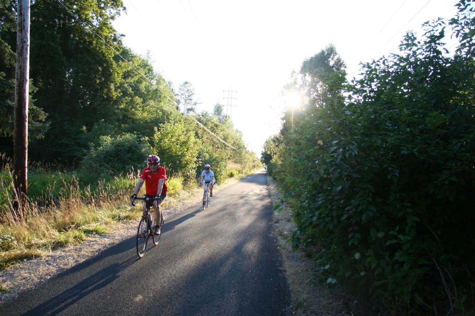 The Rail Trail That Keeps On Giving
Distance: 21 miles one-way
Difficulty: Easy to Moderate
Highlights: Urban to rural transition, wildlife refuges, food cart pods
The Springwater Corridor is like the Energizer Bunny of bike trails — it just keeps going and going. This 21-mile paved trail follows an old rail line from the heart of Portland all the way to the thriving metropolis of… Boring. Yes, you read that right. Boring, Oregon. But trust us, the ride is anything but!
Start your journey in Southeast Portland, where the trail winds past the Oaks Bottom Wildlife Refuge. It’s a birdwatcher’s paradise, so don’t be surprised if you have to slow down for a flock of spandex-clad cyclists with binoculars around their necks.
As you pedal eastward, the urban landscape gradually gives way to more rural scenes. You’ll pass through wetlands, forests, and pastoral farmland. It’s like watching Portland’s origin story in reverse!
About halfway along the trail, you’ll hit the motherlode of Portland culture: Cartlandia. This food cart pod is like a gastronomic oasis in the middle of your ride. Whether you’re craving Thai, tacos, or good ol’ American burgers, Cartlandia has got you covered. Just don’t blame us if your bike feels a little heavier on the ride back!
For those looking for an extra challenge, consider taking the I-205 bike path north to connect with the Marine Drive path along the Columbia River. It’s like a DIY bike path network — you’re the conductor of your own two-wheeled train!
Historical Significance and Interesting Facts
1. The Rail-to-Trail Conversion
• The Springwater Corridor Trail follows the path of the old Springwater Division Rail Line, which was originally built in the early 1900s. The rail line was primarily used for freight and passenger services between Portland and the communities to the east, including Gresham and Boring. By the 1990s, the rail line had fallen out of use, and plans were set in motion to convert it into a multi-use trail as part of the Rails-to-Trails movement.
2. Part of the 40-Mile Loop
• The Springwater Corridor is a key segment of Portland’s famous 40-Mile Loop, a network of interconnected trails that encircle the city and provide access to various parks, natural areas, and neighborhoods. The 40-Mile Loop concept was first proposed in 1903 by the Olmsted Brothers, renowned landscape architects who envisioned a greenway system that would connect Portlanders to nature.
3. Oaks Bottom Wildlife Refuge
• As you begin your ride on the Springwater Corridor, you’ll pass by the Oaks Bottom Wildlife Refuge, Portland’s first wildlife refuge, established in 1988. This 170-acre wetland area is home to a wide variety of bird species, making it a popular spot for birdwatchers. The refuge plays a crucial role in the city’s ecosystem, providing habitat for wildlife and serving as a natural filter for stormwater runoff.
4. Bridging the Gap
• The trail includes several bridges that cross over roads and creeks, one of the most notable being the Sellwood Bridge. The original bridge was built in 1925 and was replaced in 2016 with a new, more seismically stable structure that includes dedicated bike and pedestrian paths. This section of the trail offers scenic views of the Willamette River and the surrounding landscape.
5. Cartlandia
• Located about 10 miles from the trail’s start, Cartlandia is one of Portland’s largest and most beloved food cart pods. It features over 30 food carts offering a diverse array of cuisines. Cartlandia also has a bike-through window, allowing cyclists to order food without dismounting—perfect for those who want to refuel quickly and get back on the trail.
6. Expanding Connectivity
• Recent efforts have been made to extend and connect the Springwater Corridor to other trails in the region. The goal is to create a continuous, car-free path from downtown Portland to the Cascade Foothills, enhancing access to outdoor recreation and encouraging more sustainable transportation options.
7. A Tale of Two Cities
• The trail’s transition from urban Portland to the rural outskirts of Boring showcases the diverse landscapes of the region. This contrast highlights the importance of preserving green spaces even as urban areas expand. The trail also connects various communities along the route, promoting a sense of regional unity.
Banks-Vernonia Trail
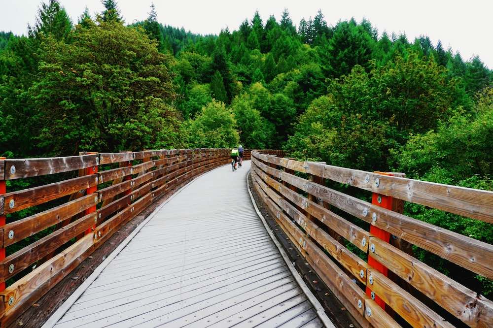 A Time-Traveling Trek
Distance: 21 miles one-way
Difficulty: Easy to Moderate
Highlights: Historic trestles, forest and farmland views, small-town charm
Ready for a blast from the past? The Banks-Vernonia Trail is like a time machine on two wheels, taking you back to the days when trains chugged through the Oregon countryside. This 21-mile rail trail stretches from the town of Banks to the city of Vernonia, offering a scenic escape from urban life.
The trail is mostly paved and relatively flat, making it perfect for families or those who prefer their rides with a side of leisure. As you pedal through dense forests and open farmland, you’ll cross 13 bridges, including the impressive Buxton and Horseshoe trestles. These towering structures offer vertigo-inducing views of the surrounding landscape — just don’t look down if you’re afraid of heights!
About halfway along the trail, you’ll reach the highest point at L.L. “Stub” Stewart State Park. Take a breather here and pat yourself on the back — it’s all downhill from here (literally, not figuratively). The park also offers camping if you’re looking to turn your ride into a multi-day adventure. Nothing says “roughing it” like pitching a tent next to your carbon fiber road bike, right?
As you approach Vernonia, keep an eye out for the old mill pond. It’s a reminder of the town’s logging past and a great spot for a photo op. Just resist the urge to try log rolling with your bike — trust us, it never ends well.
Historical Significance and Interesting Facts
1. Railroad Origins
• The Banks-Vernonia Trail traces its roots back to the early 1920s when it was part of the Oregon-American Lumber Company’s railroad line. This line was essential for transporting timber from the dense forests around Vernonia to the lumber mills in the region. The rail line remained in operation until the 1950s when logging activity declined, and the tracks were eventually abandoned.
2. Rails-to-Trails Transformation
• In the late 1980s, the idea to convert the old rail line into a multi-use trail began to take shape. The trail officially opened in 1991 as Oregon’s first rail-to-trail project, marking a significant milestone in the state’s commitment to outdoor recreation and historic preservation. Today, the Banks-Vernonia Trail is a shining example of how disused infrastructure can be repurposed to benefit communities and promote healthy lifestyles.
3. Historic Trestles
• The trail is renowned for its historic wooden trestles, some of which date back nearly a century. The Buxton Trestle, for instance, is a staggering 700 feet long and 80 feet high, offering breathtaking views of the forested valley below. The trestles were meticulously restored during the trail’s construction, preserving their historical integrity while ensuring they are safe for modern use.
4. L.L. “Stub” Stewart State Park
• Situated roughly midway along the trail, L.L. “Stub” Stewart State Park offers more than just a rest stop. The park features over 1,800 acres of lush forest, scenic viewpoints, and miles of additional trails for hiking, mountain biking, and horseback riding. It’s a popular spot for camping, with a variety of options ranging from tent sites to cozy cabins, making it an excellent base for exploring the surrounding area.
5. Vernonia’s Logging History
• The town of Vernonia, at the northern end of the trail, was once a bustling logging community. The old mill pond you’ll see near the trail’s end is a relic of this era, serving as a reminder of the town’s industrial past. Vernonia’s history is celebrated through various local events and the Vernonia Pioneer Museum, which offers a glimpse into the life of the early settlers and the logging industry that shaped the region.
6. Wildlife and Natural Beauty
• The Banks-Vernonia Trail offers more than just historical landmarks; it also provides a sanctuary for wildlife. The surrounding forests are home to a variety of species, including deer, elk, and numerous bird species. The trail’s mix of open fields, dense woods, and wetland areas create a dynamic environment that changes with the seasons, making each ride a unique experience.
7. Community Impact
• The trail has had a significant positive impact on the local communities of Banks and Vernonia. It has become a popular destination for outdoor enthusiasts, boosting tourism and supporting local businesses. Annual events, such as the Vernonia Salmon Festival and various cycling races, draw visitors from across the region, further cementing the trail’s importance to the local economy.
Epic Adventures
For Those Who Live in the Saddle
***
Columbia River Gorge
 Waterfalls and Wind (Mostly Wind)
Distance: Varies (30-60 miles round trip from Troutdale)
Difficulty: Challenging
Highlights: Spectacular gorge views, waterfalls, wind-sculpted hair
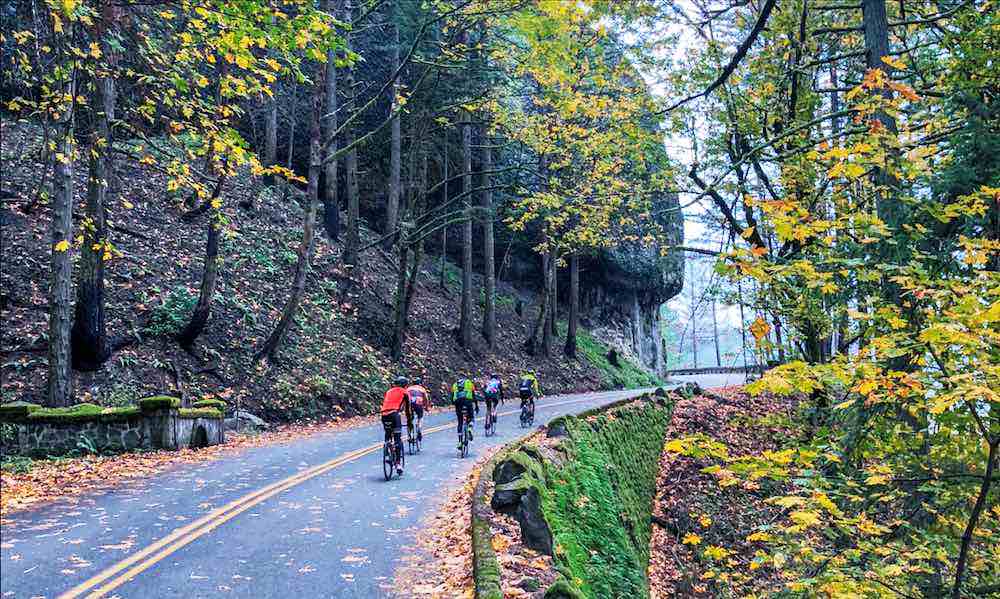
If you’re looking for a ride that’ll make your quads scream (with joy, of course), look no further than the Columbia River Gorge. This route is the cycling equivalent of a Hollywood blockbuster — dramatic views, heart-pumping action, and a high probability of getting wet.
Start your journey in Troutdale, aka the “Gateway to the Gorge.” As you pedal east on the Historic Columbia River Highway, you’ll soon realize why this road is considered an engineering marvel. It’s like someone looked at the sheer cliffs of the Gorge and said, “You know what would be great here? A road!”
Your first major stop will be the Vista House at Crown Point. This art deco observatory offers jaw-dropping views of the Gorge. It’s also usually windy enough here to give you a free hairdo restyling. Who needs a salon when you’ve got nature’s blow dryer?
Continue east, and you’ll enter waterfall territory. Latourell, Wahclella, Horsetail — it’s like Mother Nature’s own water park. The crown jewel, of course, is Multnomah Falls. At 611 feet, it’s tall enough to make even the burliest cyclist feel small. Pro tip: the view is even better if you bike up to the top. Just kidding — please don’t do that. There are stairs for a reason!
Beyond Multnomah Falls, the old highway becomes car-free, offering a peaceful ride to Cascade Locks. Here, you can reward yourself with a well-deserved meal and perhaps a local brew. You’ve earned it, champ!
Historical Significance and Interesting Facts
1. Historic Columbia River Highway
• The Historic Columbia River Highway, built between 1913 and 1922, was the first planned scenic roadway in the United States. Engineer Samuel Lancaster designed the highway to complement the natural beauty of the Columbia River Gorge, making it a marvel of early 20th-century engineering. The highway was intentionally constructed with gentle curves and scenic viewpoints, allowing travelers to experience the Gorge’s breathtaking landscapes without rushing through them.
2. Vista House at Crown Point
• Vista House, perched atop Crown Point, was completed in 1918 as a rest stop and observatory for those traveling the Columbia River Highway. Designed in the Art Nouveau style, the building serves as a tribute to Oregon pioneers and offers panoramic views of the Columbia River Gorge. It’s not just a tourist stop—it’s an architectural gem that has stood the test of time.
3. The Waterfalls of the Gorge
• The Columbia River Gorge is home to over 90 waterfalls, making it one of the most waterfall-dense regions in the world. Multnomah Falls, the most famous, is the tallest waterfall in Oregon and one of the most visited natural attractions in the Pacific Northwest. The area’s unique geology, shaped by volcanic activity and glacial floods, has created the steep cliffs and deep canyons that make these waterfalls possible.
4. Restoration of the Historic Highway
• In the mid-20th century, sections of the Historic Columbia River Highway fell into disrepair due to the construction of Interstate 84. However, efforts to restore and preserve the highway began in the 1980s. Today, much of the highway has been revitalized, with several sections converted into bike- and pedestrian-only paths. This restoration allows cyclists to experience the beauty of the Gorge without the interference of motor traffic.
5. Windy Conditions
• The Columbia River Gorge is known for its strong winds, a result of the narrow gap between the Cascade Mountains funnelling air through the region. These winds make the Gorge a world-renowned destination for windsurfing and kiteboarding, and they can also provide a bit of a challenge (or an extra push) for cyclists. The winds can reach speeds of up to 50 miles per hour, so be prepared for a gusty ride!
6. Flora and Fauna
• The Gorge’s unique microclimates support a diverse range of plant and animal life. As you ride through the area, you’ll see everything from temperate rainforests to arid grasslands. The Columbia River Gorge is also home to several rare and endemic species, including the Columbia Gorge daisy. Keep an eye out for wildlife like bald eagles, ospreys, and even the occasional black bear.
7. Cultural and Historical Landmarks
• Beyond its natural beauty, the Columbia River Gorge is rich in cultural history. The area has been inhabited by Native American tribes for thousands of years, and many sites along the route have historical significance. The Bonneville Dam, completed in 1938, is a key point of interest, offering a glimpse into the region’s development and the role of hydroelectric power in the Pacific Northwest.
These additional details offer a comprehensive view of the Columbia River Gorge, emphasizing its historical importance, natural wonders, and the unique experiences it offers to cyclists. The Gorge is not just a challenging ride—it’s a journey through some of the most spectacular scenery and history that Oregon has to offer.
Sauvie Island
 A Rural Respite
Distance: 12-55 miles (depending on route)
Difficulty: Easy to Moderate
Highlights: Rural scenery, beaches, u-pick farms, wildlife
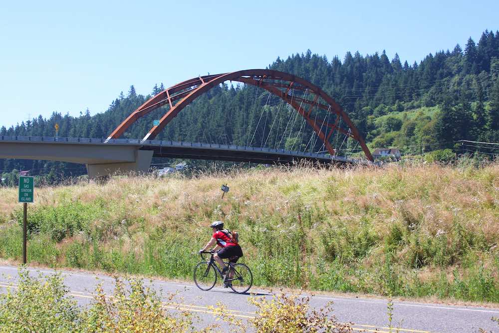
Want to feel like you’ve escaped to the countryside without actually leaving Portland? Sauvie Island is your ticket to rural bliss. This 26,000-acre island, located at the confluence of the Willamette and Columbia Rivers, is a pastoral paradise just a stone’s throw from downtown.
To get there, you can either brave the ride along Highway 30 (for the adrenaline junkies) or take the more civilized approach of driving to the parking lot at the foot of the bridge. Once on the island, you’re free to explore a network of flat, low-traffic roads that loop around the perimeter and through the interior.
As you pedal past farms and fields, you might spot some of the island’s year-round residents — and we’re not talking about the farmers. Sauvie Island is home to a vast array of wildlife, including bald eagles, osprey, and great blue herons. It’s like a live-action National Geographic special, only you’re providing the soundtrack with your heavy breathing.
In the summer, take a detour to one of the island’s beaches for a refreshing dip. Collins Beach is particularly popular, though be warned — part of it is clothing-optional. Nothing like an unexpected eyeful to motivate you to pedal faster!
Don’t leave the island without stopping at one of the many u-pick farms. There’s something deeply satisfying about filling your bike basket with fresh berries or peaches. Just try not to eat them all before you get home!
Historical Significance and Interesting Facts
1. Native American History
• Sauvie Island, known as Wapato Island by Native American tribes, has been inhabited for thousands of years. Prior to the mass arrival of European American immigrants, around 2,000 residents were settled in fifteen villages. The island was a seasonal gathering place for tribes such as the Multnomah and Clackamas, who relied on the island’s rich natural resources, particularly the wapato plant and the meal from acorns, which were staple foods. The island’s current name comes from Laurent Sauvé, a French-Canadian fur trader who established a dairy farm on the island in the 1830s.
2. Agricultural Legacy
• Since the mid-19th century, Sauvie Island has been a hub of agricultural activity. Early settlers recognized the fertility of the island’s soil, which is nourished by the annual floods of the Columbia and Willamette Rivers. Today, the island is home to numerous farms, many of which offer u-pick opportunities. These farms grow everything from berries and pumpkins to Christmas trees, making the island a year-round destination for Portlanders looking to connect with the land.
3. Wildlife Refuge
• A significant portion of Sauvie Island is designated as a wildlife refuge, established in 1947 to protect waterfowl and other species. The Sauvie Island Wildlife Area covers over 12,000 acres and provides critical habitat for birds, mammals, and fish. It’s a birdwatcher’s paradise, especially during the winter months when tens of thousands of migratory birds, including sandhill cranes and snow geese, flock to the island.
4. Cycling Routes
• Sauvie Island is a popular destination for cyclists due to its flat terrain and scenic views. The island’s perimeter loop, which covers about 12 miles, is a favorite among casual cyclists and families. For those looking for a longer ride, the route can be extended to 55 miles by including a trip along Highway 30 to the town of Scappoose and back. The island’s low-traffic roads and rural charm make it a peaceful alternative to Portland’s urban bike paths.
5. Beaches and Recreation
• In addition to its agricultural and natural attractions, Sauvie Island is also home to several beaches along the Columbia River. The most famous is Collins Beach, a clothing-optional beach that draws visitors from around the region. Walton Beach, located on the northern tip of the island, is more family-friendly and offers stunning views of the river and Mount St. Helens on clear days.
6. Seasonal Festivals
• Sauvie Island hosts a variety of seasonal events that draw crowds from across the region. The fall pumpkin patches and corn mazes are particularly popular, providing a quintessential Pacific Northwest autumn experience. In the spring, the island’s farms burst into bloom, offering u-pick tulips, daffodils, and other flowers. The island’s agricultural heritage is celebrated year-round, with farm stands offering fresh produce, honey, and local crafts.
These additional details provide a richer understanding of Sauvie Island, emphasizing its deep historical roots, agricultural significance, and the unique experiences it offers to visitors. Whether you’re cycling, birdwatching, or picking fresh fruit, Sauvie Island is a slice of rural tranquility just minutes from the city.
Where to Rent a Bike
 Ticket to Ride
Portland has no shortage of bike rental options, because let’s face it — in this city, not having a bike is like not having shoes. Here are some top picks:
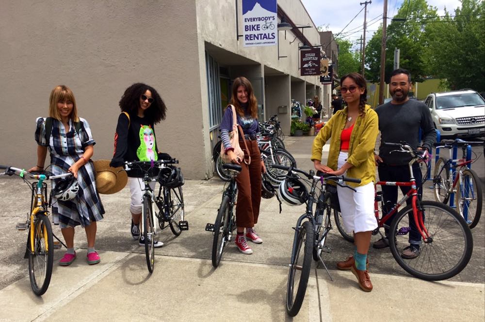
1. Everybody’s Bike Rentals: Located just three blocks from the Portland Eco House, this shop offers a wide range of bikes. Whether you want a sleek road bike or e-bike to zip through the city or a sturdy mountain bike to tackle Forest Park, they’ve got you covered.
2. Cycle Portland: Situated in Old Town, this shop not only rents bikes but also offers guided tours. It’s perfect if you want someone else to do the navigating while you focus on not falling off your bike.
3. Biketown: Portland’s bike-share system is perfect for short trips and spontaneous rides. With bright orange bikes scattered throughout the city, it’s like a real-life game of Pokémon Go, only instead of catching monsters, you’re catching bikes!
Where to Rest Your Weary Bones
Portland Eco House
After a day of conquering Portland’s bike routes, you’ll need a cozy place to rest your tired legs. Look no further than the Portland Eco House in the vibrant Alberta Arts District.
This isn’t just any accommodation — it’s a cyclist’s dream come true. Choose from stylish rooms in the main house, a cozy patio cottage, or a private patio suite. All feature organic bedding, perfect for face-planting after a long day of riding.
But here’s the best part — the Portland Eco House is just a short ride from many of the city’s top cycling routes. You can hop on a neighborhood greenway right outside your door, or take advantage of the nearby Biketown stations. It’s like having a cycling concierge at your fingertips!
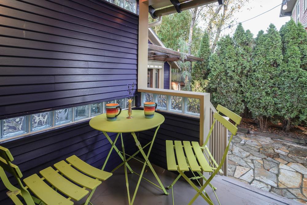
After your ride, relax in the secluded patio. It’s the perfect spot to compare tan lines (or sunburn patterns) with your fellow cyclist(s) and swap stories about the day’s adventures.
Final Thoughts
Pedal On, Portland!
There you have it, folks — a comprehensive guide to cycling in Portland that’s longer than the line at Voodoo Doughnut on a Saturday morning. Whether you’re looking for a leisurely ride along the river, an adrenaline-pumping mountain bike adventure, or anything in between, Portland’s got you covered.
Remember, in Portland, every day is a good day to bike. Rain? That’s just nature’s way of washing your bike for free. Hills? They’re just Portland’s version of interval training. And if you get a flat tire? Well, that’s just an opportunity to make a new friend as you sheepishly ask a passing cyclist for help.
So clip in, gear up, and get ready to experience Portland the way it was meant to be seen — from the seat of a bicycle. Just remember to signal your turns, wear a helmet, and most importantly, have fun. Because in Portland, life is always better on two wheels!
Happy trails, and may the wind always be at your back (except when you’re trying to get that windswept look for your Instagram photos)!
Scott’s place is a fine old Portland house that he has lovingly maintained and updated. It’s spacious, quiet, clean, and tastefully decorated. Scott is enjoyable to chat with, and checkin and communication were smooth and drama-free. The area is fun to explore, which lots of good spots to eat, drink, and shop within a short distance. An excellent value. Recommended.

Portland Vintage Shopping: 27 Spots to Score the Best Deals
[pac_divi_table_of_contents default_state="closed" icon_position="left" exclude_headings_by_class="on" included_headings="off|on|off|off|off|off" level_markers_1="icons" icon_marker_1="E||divi||400" level_markers_2="icons" icon_marker_2="E||divi||400"...

Roasted in Rose City: A Tour of Portland’s 20+ Top Coffee Shops
[pac_divi_table_of_contents default_state="closed" icon_position="left" exclude_headings_by_class="on" included_headings="off|on|off|off|off|off" level_markers_1="icons" icon_marker_1="E||divi||400" level_markers_2="icons" icon_marker_2="E||divi||400"...

Read Local: Venture Inside Portland’s Literary Arts Scene
[pac_divi_table_of_contents default_state="closed" icon_position="left" exclude_headings_by_class="on" included_headings="off|on|off|off|on|off" level_markers_1="icons" icon_marker_1="E||divi||400" level_markers_2="icons" icon_marker_2="E||divi||400"...

18 Unbelievably Weird Museums in Portland to Explore
Curious traveler, if you’re drawn to the weird, wacky, and wonderfully eerie, Portland is calling your...

20 Best Wellness Retreats in Portland: Feel the Difference
[pac_divi_table_of_contents icon_position="left" exclude_headings_by_class="include" included_headings="on|on|on|on|on|off" level_markers_1="icons" level_markers_2="none" level_markers_3="none" level_markers_4="none" level_markers_5="none"...
Join in the Festive Spirit of Portland’s Winter Celebrations
Against the backdrop of the snow-capped Cascade Mountains, Portland winters sparkle with...
Sip and Savor: The 16 Best Tea Houses in Portland
[pac_divi_table_of_contents default_state="closed" icon_position="left" exclude_headings_by_class="on" included_headings="off|on|off|off|off|off" level_markers_1="icons" icon_marker_1="E||divi||400" level_markers_2="icons" icon_marker_2="E||divi||400"...

Shop Green in Portland: Eco-Friendly Stores You’ll Love
Portland, Oregon, is a haven for sustainable shopping, with plenty of local stores offering ethically-made and environmentally-friendly products for customers dedicated to green living. If you’re an eco-conscious consumer, you’ll love exploring the best places to...

Ghostly Adventures: Portland’s Most Haunted Locations
Whispers in the dark… footsteps that aren’t there… Halloween is just around the corner, and Portland’s spirits are restless! Are you ready for a ghostly adventure? Portland isn’t just known for its quirky charm and vibrant culture but also for being a hotspot for...
Amazing Local Artisans abound at Portland Saturday Market
If you’re visiting Portland, you absolutely have to check out the iconic Portland Saturday Market. It’s the largest continuously operating open-air arts and crafts market in the country, and it’s packed with incredible local artisans and makers. Spend a day browsing...

